
Learn ASA 105
Coastal Navigation ONLINE
aSA 105, COASTAL NAVIGATION
Learn practical navigation on inland and coastal waters, including chart reading, piloting, rules of the road, tides and currents, and more. Includes both echart and paper chart training. This course is a prerequisite for ASA 106, Advanced Coastal Cruising. For PC or Mac computers.
KNOWLEDGE
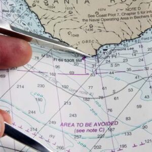
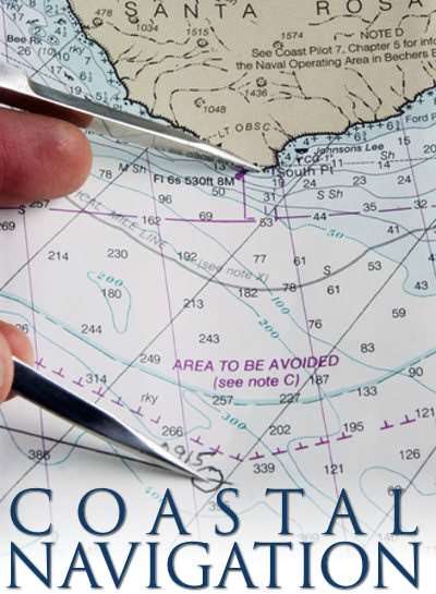
1.Explain the chart symbols and conventions on U.S. nautical charts in accordance with the terminology of Chart #1.
2.Identify a source of official U.S. Coast Guard navigation publications.
3.List the publications required for prudent navigation in the local area including:
- Large scale charts of the area and Chart #1
- Federal Requirements for Recreational Boats
- USCG Navigation Rules and Regulations Handbook
- State small vessel regulations
- Local rules and regulations, if applicable
- Local cruising guides
- Tide and current tables, (paper or electronic)
- List of lights, buoys, and fog signals
4.Describe the instruments required for prudent navigation in the local area including the following minimum requirements:
- Steering compass and deviation table
- Handbearing compass and / or pelorus
- Binoculars
- Protractor or parallel rule
- Depth sounder or leadline
- Pencil, eraser, and notebook
- Dividers
- Watch or clock
- Log / Knotmeter
5.Describe the purpose and example contents of a “Notice to Mariners.”
6.Explain the terms and characteristics used for lighted navigation aids.
7.Explain the significance of shapes, colors, and lights used in the U.S. Aids to Navigation (ATON) system.
SKILLS
8.Use the tide and current tables to find:
- Times and heights of tides at reference and secondary ports.
- Direction and rate of current at referenced and secondary stations.
9.Convert courses and bearings between true, magnetic, and compass.
10.Check compass deviation by a transit bearing or other means.
11.Plot a dead reckoning position on a chart using speed, time and course to steer.
12.Allow for the effect of current and leeway to plot the estimated position.
13.Determine a course to steer which takes into account known current and leeway.
14.Determine current given the course steered and speed and two observed positions.
15.Plot a chart position from terrestrial objects using:
- Two or more bearings on different objects taken at one time.
- Bearings at different times (i.e. a running fix).
- One bearing and transit range.
- One distance (i.e. a sounding or dipping a light) and one bearing.